
EVERETT — The National Weather Service expanded a winter weather advisory for an additional 2 inches of snow in Everett and other lowland cities in Snohomish County.
The advisory, in effect 5 p.m. Monday until 10 a.m. Tuesday, also includes the cities of Bothell, Marysville, Edmonds, Lynnwood and surrounding areas.
Plan on slippery road conditions, the weather service warned. Hazardous conditions could affect the Monday evening and Tuesday morning commutes.
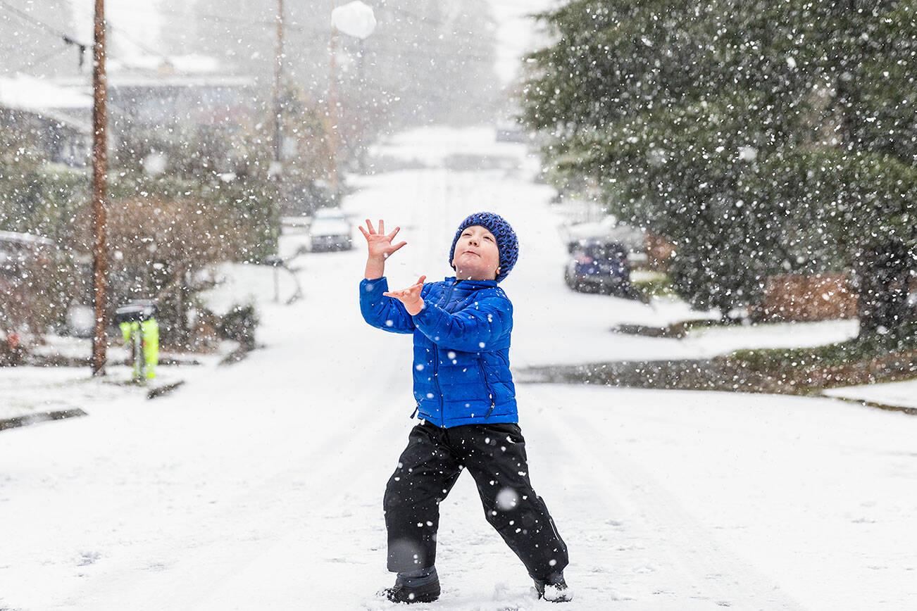
The expanded advisory comes after scattered amounts of snow fell on parts of the lowlands of Snohomish County over the weekend and appeared to deliver on a prediction for additional snow showers this week.
Everett saw trace amounts of snow Saturday, but towns closer to the Cascades, such as Oso and Darrington, got up to 2 and a half inches, weather service meteorologists said. On Sunday, south Everett out to Monroe got about half an inch of accumulation while Edmonds received enough snow for a few snowballs and to transform roads and local parks. A dusting of snow covered the ground in Marysville on Monday before much of it melted hours later.
On Monday morning, continued snow showers prompted two-hour delays for schools in Arlington, Edmonds and Everett. Edmonds and Arlington school districts will not use out-of-district transportation due to poor road conditions.
Classes will start on time for schools in Sultan, but some bus routes have switched to snow routes.
The weather service called for a 60% chance of snow in Everett on Monday, most likely before 1 p.m. Wind chills could make a forecasted high of 39 degrees feel like 29 degrees.
The chance of snow remains at 70% Monday night, although less than an inch of accumulation is predicted.
Through the week, low temperatures are expected to remain around the mid-20s with highs reaching the mid- to upper 30s. The average low in Everett during February is 37, and average high is 48, according to U.S. climate data.
“We’re going to be stuck with this cooler pattern pretty much throughout the week,” National Weather Service meteorologist Harrison Rademacher said. “We will have chances of snow showers continuing throughout the week, just kind of off and on and spotty in terms of coverage — where those showers are going to be.”
Stevens Pass isn’t expected to get much more snow than the lowlands this week, but the ski resort currently has a base depth of 91 inches of snow to start the 2025 season.
All six Snohomish County warming centers will be open Monday night and will remain open, assuming low temperatures drop to 34 degrees or lower as expected.
Eliza Aronson: 425-339-3434; eliza.aronson@heraldnet.com; X: @ElizaAronson.
Eliza’s stories are supported by the Herald’s Environmental and Climate Reporting Fund.
Gallery