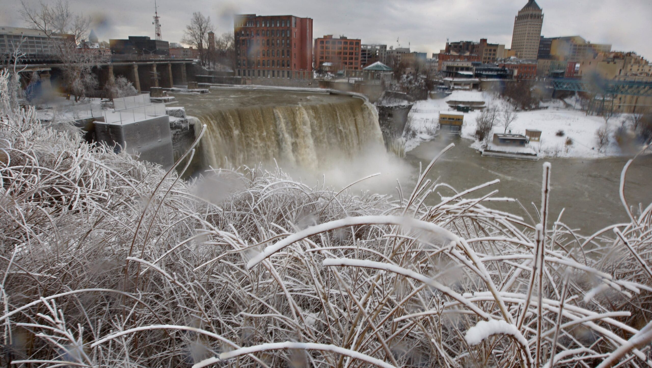
A major ice storm is headed north and is expected to significantly impact New York and other parts of the Northeast through Thursday. The National Weather Service issued a weather alert for the Midwest, Mid-Atlantic and Northeast from Wednesday to Thursday, warning of several inches of freezing rain and ice.
According to the Weather Service, an arctic air system is predicted to form in the Midwest starting Wednesday and bring rain, sleet and over a fourth-inch ice accumulation and slippery road conditions for millions of people in the New York metro area on Thursday. States from Michigan to Maine will be impacted by the icy blast, according to the weather warning.
Will New York be impacted by the ice storm?
In short, yes. But the impact appears it will be far less potential ice than nearby Pennsylvania, where in the southcentral area, up to a quarter-inch of ice is predicted by midday Thursday.
In New York, the Weather Service issued winter weather advisories for parts of the Southern Tier and western New York, central New York, the Catskills and parts of the Hudson Valley.
Throughout the state – up to a tenth of an inch of ice is predicted by varying times of the day on Thursday. Snow predications vary ranging from an inch or two in the Southern Tier and western New York, to up to 3 inches in central New York and near Albany, and 2 to 5 inches of snow in parts of the Adirondacks.
The amount of snow predicted varies throughout the state as the precipitation will begin as a light snow and switch to sleet and freezing rain, then to “just rain” as the system moves north and the temperature rises, said Weather Service meteorologist David Thomas.
The sleet and freezing rain will only last an hour or so in most areas, he said, before it warms up enough to switch to “plain rain,” he said.
The hours of the advisories vary but are all in place for Thursday. Some start overnight and run through the afternoon, while others start later and end in the evening.
Roads, especially on bridges and overpasses, are expected to become slick and dangerous, making travel “almost impossible.” Power outages are also possible.
Thomas suggested travelers allow for extra time Thursday – especially for the morning commute – as “the roads will be in varying conditions.” Expect a “light glaze” on cars and roadways, he said.
A strong cold front is expected to follow the rain, with predicted wind gusts between 40 and 45 mph, Thomas said,
How to prepare for an ice storm
Before an ice storm, take precautions to ensure your safety and the safety of your family. Here are a few things you can do, as recommended by property cleaning service PuroClean:
Stock up on supplies. Ensure you have enough food, water, and other items to last several days.Trim trees. Remove branches or trees that could fall onto your home or power lines.
Prepare your home. Insulate and seal cracks or openings to prevent drafts and preserve the heat. Have extra blankets and warm clothing on hand. Poorly-insulated pipes can burst in cold weather, so check that yours are not frozen.Protect your car. Park your vehicle in a covered area or garage, or cover it with a tarp or blanket to protect it from ice and falling branches.Charge your devices. Ensure your cell phone and other electronic devices are fully charged.
Stay indoors. Avoid going outside during the storm if possible. Wear warm, waterproof clothing and non-slip shoes if you must go outdoors.
‘Delay all travel if possible’ during ice storm
The National Weather Service advised that people “should delay all travel if possible. If travel is absolutely necessary, drive with extreme caution and be prepared for sudden changes in visibility. Leave plenty of room between you and the motorist ahead of you, and allow extra time to reach your destination. Avoid sudden braking or acceleration, and be especially cautious on hills or when making turns.”
“Make sure your car is winterized and in good working order,” the Weather Service said.
Contributing: USA Today Network