
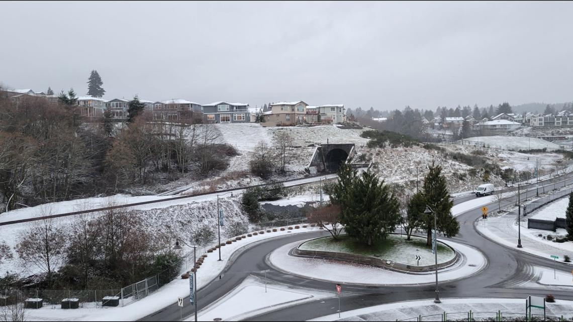
Total snow accumulations of up to 2 inches are possible in some lowland areas through Tuesday morning.
Ashley Ruiz, Adam Claibon, KING 5 Staff
5:56 PM PST February 2, 2025
5:14 AM PST February 4, 2025
SEATTLE — Off-and-on snow showers fell across western Washington on Monday and will continue in some areas into the first half of the workweek as the colder air deepens.
KING 5 has activated First Alert for this weather event through Tuesday morning, which could affect lives, property or travel in the Pacific Northwest region. During this event, the First Alert Weather Team will bring you the latest information to keep you and your family safe.
Here’s a breakdown of when these weather patterns will impact western Washington.
RELATED: How does Washington’s snowpack compare to last year?
Tuesday – Wednesday
Tuesday will bring another shot for snow showers. The upper low sitting to our northwest may send yet another round of rain and snow showers on Wednesday. Flurries are possible through the weekend.
A Winter Weather Advisory is in effect for much of the Puget Sound region until 10 a.m. Tuesday. It’s in effect for the Strait of Juan de Fuca and the north and central coast until 1 p.m.
The advisory extends along the Interstate 5 corridor from north Snohomish County to Pierce County. It also includes the Hood Canal area and north Olympia Peninsula.
Up to 2 inches of snow could accumulate in these areas by Tuesday, according to the National Weather Service. However, snow totals will be “localized in nature” due to the scattered showers.
Increasing Fraser River outflow winds will usher in colder air into the Northwest Interior. A Cold Weather Advisory is in effect for western Whatcom County through 10 a.m. Wednesday. Overnight temperatures are expected to drop into the teens and 20s. However, the wind may make it feel closer to 0 degrees at times, which could quickly lead to hypothermia if proper precautions are not taken.
The cold air will settle in all across our region this week, holding high temperatures for most down in the 30s, so even if you don’t see much snow early this week, you will feel the chill. Overnight temperatures will dip down into the teens and 20s through Friday morning; the coldest mornings look to be Tuesday through Friday.